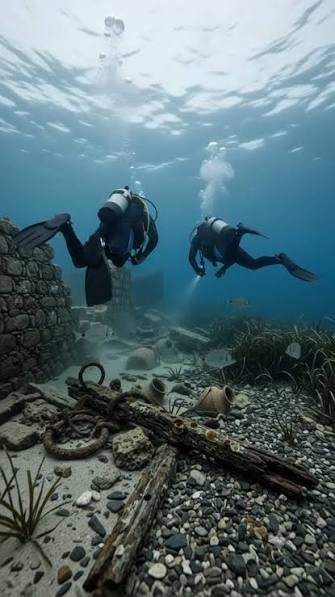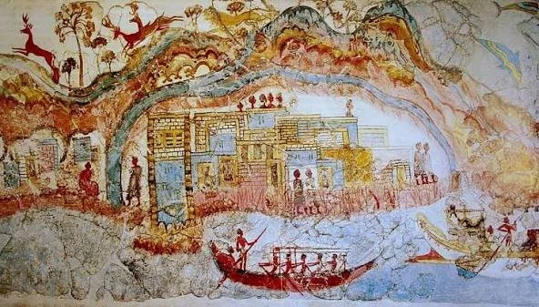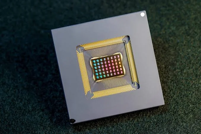
Quantum measurement, non-invasive archaeology, and the search for structures concealed beneath ancient ruins.
Reading the Past Without Excavating Everything
Mycenaean archaeological sites preserve evidence of a civilization that flourished in mainland Greece during the Late Bronze Age. Fortified citadels, monumental gateways, palace complexes, and substantial stone walls reveal how communities organized settlements and defended important centers.
Archaeologists increasingly use advanced instruments to investigate buried structures without immediately excavating them. Ground-penetrating radar, magnetometry, electrical resistivity, and other geophysical techniques can help reveal features beneath the soil.
Quantum sensors may eventually contribute to this work through highly sensitive measurements of magnetic fields, gravity, or other physical properties. The idea of forgotten quantum sensors mapping Mycenaean walls is compelling, but no particular deployment should be assumed without evidence from an identifiable archaeological project.
What Makes a Sensor Quantum?
Quantum sensors exploit properties of quantum systems to measure physical quantities with high sensitivity. Depending on the design, they may use atomic transitions, quantum states in solid materials, or other phenomena to detect changes in magnetic fields, acceleration, time, and related measurements.
Some quantum technologies are already used in specialized scientific and industrial applications. Others remain under development or are being evaluated for particular practical uses.
A quantum sensor is not automatically superior to every conventional instrument. Its usefulness depends on the quantity being measured, the environment, measurement range, sensitivity, stability, cost, and operational requirements.
Archaeology also places practical constraints on equipment. Sensors may need to operate in uneven terrain, withstand environmental variation, and produce data that can be interpreted reliably by specialists.
How Archaeologists Map Hidden Walls
Geophysical archaeology works by detecting physical contrasts between buried features and surrounding soil or rock. A stone wall may differ from its surroundings in electrical properties, magnetic response, density, or how it reflects electromagnetic waves.
Ground-penetrating radar sends electromagnetic pulses into the ground and records returning signals. Magnetometry measures variations in the local magnetic field, while electrical resistivity methods examine how easily electric current passes through subsurface materials.
Each method has strengths and limitations. Radar performance depends on ground conditions and the properties of the buried material. Magnetometry can be affected by modern metal objects, and resistivity surveys may require suitable contact with the ground.
The results often need to be combined with topographic information, historical research, and archaeological interpretation.
Where Quantum Sensors Might Help
Some quantum sensors could improve the measurement of subtle magnetic or gravitational variations. In principle, this could assist investigations where conventional instruments struggle to detect weak signals or where more precise measurements are needed.
For buried walls, however, greater sensitivity does not guarantee clearer archaeological maps. Soil composition, moisture, background noise, sensor movement, and the geometry of buried structures all influence the data.
Researchers would need to compare quantum-based measurements with established survey techniques and determine whether the new instruments reveal additional archaeological information.
A claim that a quantum sensor has mapped a particular Mycenaean wall should therefore identify the technology used, the archaeological site, the survey results, and the method of independent verification.
Mycenaean Architecture and the Importance of Context
Mycenaean fortifications are often associated with massive stone construction. Their surviving walls can be studied through architectural documentation, excavation, material analysis, and comparison with other sites.
Geophysical surveys can help locate buried extensions, earlier structures, or features beyond visible ruins. They can also guide excavation toward areas likely to answer specific research questions.
Yet a subsurface anomaly is not automatically a wall. Natural geology, modern construction, disturbed soil, and other buried materials may produce similar signals. Archaeologists must evaluate the evidence before assigning a feature a historical interpretation.
A New Generation of Archaeological Instruments
Quantum sensing offers an emerging set of tools that may eventually expand what archaeologists can detect without disturbing fragile sites. Its contribution will depend on demonstrated performance, practical field conditions, and the quality of the interpretation that follows.
The idea of forgotten quantum sensors mapping Mycenaean walls remains unverified without a documented project. The established scientific opportunity is broader: combining increasingly sophisticated measurements with archaeological expertise to investigate ancient structures while preserving the evidence for future generations.