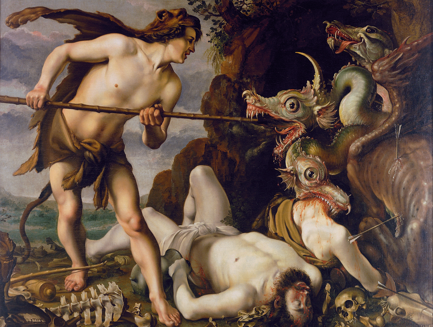
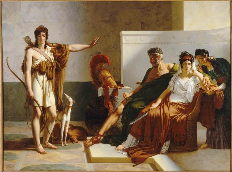
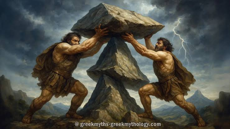
Anaximander of Miletus (c. 610–546 BCE), a student of Thales, was one of the most versatile and radical minds of early Greek philosophy. While his master revolutionized physics by suggesting that water was the primary substance of the universe, Anaximander turned his analytical mind toward the spatial organization of the Earth itself.
By applying geometry, astronomy, and rational critique to physical space, Anaximander effectively founded the science of mathematical geography.
1. Drawing the First Map of the Inhabited World
Before Anaximander, human maps were localized, practical itineraries or mythic cosmological diagrams. Anaximander executed a monumental intellectual leap: he was the first person in recorded history who dared to draw a map of the entire inhabited world (the Oikoumene).
According to the later geographer Eratosthenes and the historian Herodotus, Anaximander published this map on a bronze tablet.
The Geometric Design: Reflecting the Greek obsession with symmetry and geometry, Anaximander depicted the Earth as a perfect circle.
The Continents: He divided the world into two great, equal landmasses: Europe to the north and Asia to the south (which included parts of modern-day Libya and Egypt).
The Water Boundaries: Separating these two continents was the Mediterranean Sea at the center, connected to the Black Sea (Pontus Euxinus) and the Phasis River (in the Caucasus). Wrapping around the entire circular boundary of the landmasses was the vast, infinite Oceanus (the outer ocean stream).
While geographically inaccurate by modern standards, this map was a profound scientific milestone. It stripped away the idea that geography was dictated by localized tribal borders or sacred mythic sites, replacing it with an objective, scaled, and rationalized bird's-eye view of the planet.
2. The Gnomon: Introducing Astronomical Geography
Anaximander did not just look at the earth; he looked to the heavens to calculate geographic space. He is credited with introducing the gnomon to the Greek world from Babylon.
The gnomon was a deceptively simple instrument: a vertical rod or pillar fixed perfectly upright on a flat, calibrated horizontal surface. By meticulously observing and measuring the shifting length and direction of the shadow cast by the sun throughout the year, Anaximander could calculate fundamental geographic coordinates:
The Solstices and Equinoxes: The shortest shadow at noon marked the summer solstice, while the longest marked the winter solstice. The midpoints identified the equinoxes.
Calculating Latitude: Anaximander realized that the angle of the sun's shadow at noon on an equinox varied depending on how far north or south a traveler stood. This discovery laid the literal foundation for calculating latitude—linking geographic position directly to cosmic geometry.
The Meridian: He used the shadow to map out a true North-South axis, creating the first primitive geographic meridian lines used to align maps accurately.
3. The Earth Suspended in Space
In early Greek thought, the Earth required a physical pillar or a cosmic body of water to hold it up (Thales believed the Earth floated like a log on a cosmic ocean). Anaximander shattered this assumption by proposing a revolutionary cosmological model that drastically altered geographic thought.
Anaximander argued that the Earth was a short, broad cylinder or drum shape, with humanity living on the flat, upper surface.
More importantly, he declared that this cylinder was suspended freely in the absolute center of the universe, completely unsupported by pillars, water, or giant turtles.
The Principle of Indifference: He argued that the Earth remains stationary at the center because it is at an equal distance from all points on the outer cosmic sphere. Because it is perfectly balanced in equilibrium, there is no logical reason for it to move up, down, or sideways.
This conceptual breakthrough liberated geography from theological boundaries. By showing that the Earth was an isolated object suspended in an empty void, he allowed later geographers like Eratosthenes to correctly conceptualize the Earth as a three-dimensional geometric body that could be measured, circumnavigated, and mapped symmetrically.
4. Meteorology and the Changing Earth
Anaximander was also the first thinker to apply a theory of deep time and natural evolution to the physical landscape, a discipline we now call physical geography or geomorphology.
Rather than viewing the Earth's coastlines, mountains, and rivers as permanent fixtures created by the gods, Anaximander argued that the geographic face of the planet was in a state of constant, slow change driven by the heat of the sun.
Drying Oceans: He noted that inland areas often contained marine fossils, sea-salt crusts, and dried-up riverbeds. He theorized that the Earth was gradually drying up. He argued that the oceans were shrinking as the sun evaporated the water, transforming vast marine gulfs into dry plains and salt marshes.
Natural Weather: He banished supernatural explanations for weather. He argued that thunder and lightning were not the weapons of Zeus, but the physical result of compressed air ripping out of dense clouds, fracturing the atmosphere through sheer mechanical pressure.
5. Summary of Geographic Transitions
Before Anaximander: Geography was subjective, descriptive, and deeply intertwined with localized mythology and religious topographies.
After Anaximander: Geography became a branch of mathematics and physics. The Earth was treated as a symmetrical geometric object that could be plotted using astronomical shadows, divided by geometric axes, and mapped as an objective totality.
Anaximander’s bronze map was quickly revised and expanded by his successor, Hecataeus of Miletus, and later served as the intellectual template for Herodotus’s historical geographies. By marrying the measurement of celestial shadows to the recording of earthly distances, Anaximander created the foundational vocabulary that eventually allowed Hellenistic scientists to measure the true size and scope of our world.
