After nine years, Theopetra Cave has officially reopened to the public, following the completion of an extensive project under the Thessaly Regional Operational Program 2014-2020 (co-funded by the EU and Greece) titled "Improvement of Visitor Accessibility at Theopetra Cave, Trikala Prefecture."
Initiated in April 2020, this project aimed to restore the cave's functionality and ensure visitor access under conditions of absolute safety—both for the monument itself and its visitors.
The undertaking was a complex one, given the significant technical challenges and the immense archaeological importance of the site. The project was carried out by a dedicated team of archaeologists, engineers, biologists, and the staff of the Ephorate of Paleoanthropology and Speleology, in collaboration with the Directorate of Technical Works of Trikala.
Theopetra: A Window into 130,000 Years of Human History
Theopetra Cave is located along the road from Trikala to Kalambaka, about 3 kilometers before reaching the latter town. It sits at an elevation of around 300 meters above sea level and 100 meters above the surrounding plain, nestled against the northern face of a limestone hill that rises above the village of Theopetra. Nearby flows the Litheos River, a tributary of the Pineios, which later crosses Trikala city.
The cave covers approximately 500 square meters, with a wide arched entrance measuring 17 meters in width and 3 meters in height, allowing natural light to flood its interior. From the entrance, visitors can gaze across to the towering rocks and monasteries of Meteora.
According to Dr. Nina Kyparissi-Apostolika, Director of the Theopetra Cave Excavations and honorary director of the Ephorate of Paleoanthropology and Speleology, Theopetra is the westernmost prehistoric site in Thessaly. Its location, bridging the Thessalian plain and the Pindus mountain range, is reflected in the composition of its archaeological layers.
Before the excavations, prevailing academic opinion held that Thessaly's prehistory began with the Neolithic period. The existence of the Mesolithic period—a transitional phase linking the Pleistocene and Holocene epochs—was largely dismissed in the region. Moreover, Paleolithic finds, primarily identified along the Pineios River's Pleistocene terraces by German archaeologist Vladimir Milojčič in 1965, were thought to be the traces of transient hunters rather than evidence of permanent habitation.
The excavations at Theopetra overturned these assumptions, revealing continuous human presence from the Middle Paleolithic through the Neolithic periods.
A Complex Archaeological Record

Theopetra Cave served as a human refuge for tens of thousands of years, though there were likely intervals of abandonment due to climatic shifts. It was also used as shelter during times of conflict and for animal stabling.
Dr. Kyparissi-Apostolika notes that the cave's stratigraphy offers the longest continuous sequence of prehistoric layers found to date—approximately 6 meters thick—spanning part of the Pleistocene (Middle and Upper Paleolithic) and the entire Holocene (Mesolithic and Neolithic) without interruption.
In the cave’s central area, sediment layers reach up to 4.5 meters thick, tapering to 2.5–3 meters along the eastern and southern margins. Periodically, the cave’s lower parts became flooded, with water entering through karstic channels and the wide entrance, depositing sediments and transporting stones—many still visible today.
The most significant flooding event likely occurred at the end of the Neolithic period. Geological disturbances, including rockfalls from the cave ceiling, further complicated the archaeological layers, occasionally moving artifacts between strata and presenting interpretive challenges for researchers.
Climate Change and Human Adaptation
Throughout its occupation, Theopetra witnessed multiple cycles of climatic fluctuation—warm and cold periods—that influenced human habitation patterns.
Remarkably, the cave preserves traces of glacial conditions during the Pleistocene, making it the southernmost site in Europe where such strong glacial features have been recorded. Its proximity to the Pindus mountains and north-facing entrance contributed to these phenomena.
Micromorphological analysis revealed evidence of several major cold phases:
The earliest, found in the deepest layers, dates back over 130,000 years.
Another cold phase spanned from roughly 60,000 to 18,000 years ago, ending with the close of the last Ice Age.
Following the Last Glacial Maximum (35,000–18,000 years ago), population levels within the cave sharply increased, as indicated by the abundance of stone tools from this period.
The final cold snap, known as the Younger Dryas (~12,000 years ago), was also documented—marking the first confirmation of this event in the Eastern Mediterranean.
Who Lived in Theopetra?
Archaeological finds confirm that Theopetra was more than a temporary shelter.
Excavations unearthed several human burials:
Two burials from the Late Upper Paleolithic, one dated between 14,990–14,060 BC (calibrated to 16,940–16,004 BP).
Three burials from the Mesolithic period, dating between 7500 and 7000 BC.
All remains belonged to Homo sapiens sapiens.
In deeper Middle Paleolithic layers, although no formal burials were discovered, researchers found exceedingly rare human footprints—suggesting Neanderthal presence, based on the associated lithic artifacts.
Paleopathological analysis of Neolithic skeletons revealed generally healthy populations. Stable isotope analysis indicates a diet primarily based on C3 plants like wheat, barley, olives, and legumes, supplemented by animal fats, plant oils, and bee products.
Animal domestication provided secondary products like wool and milk rather than primarily meat, a dietary model that persisted in rural Greece up to World War II.
Evidence of fish bones and freshwater shells from the nearby Litheos River, and possibly the Pineios River, suggests occasional consumption of aquatic resources.
Dating and Volcanic Events
Theopetra Cave is perhaps Greece’s most thoroughly dated archaeological site, with human activity spanning from approximately 130,000 years ago to 4300–4200 BC.
In addition to radiocarbon and thermoluminescence dating, scientists identified volcanic ash layers carried by the wind:
Two ash deposits from Pantelleria Island (off Sicily) dated to 130,000 and 45,000 years ago.
One from Nisyros Island (Greece) dated to around 55,000 years ago.
These volcanic markers corroborate the early dates obtained by other methods.
Abandonment and Legacy
Around 4000 BC, Theopetra was abandoned—likely due to natural factors, including intensified water intrusion and rockfalls that rendered the cave unsafe. At the same time, growing agricultural practices encouraged open-air settlements.
These findings are the result of decades of research led by Dr. Kyparissi-Apostolika and her team, highlighting Theopetra’s significance not only for Greek but also for Southeast European prehistory.
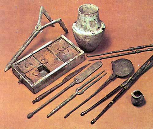
Today, Theopetra Cave has been transformed into an archaeological site open to visitors, while many of its remarkable finds are displayed at the Theopetra Documentation and Education Center, located near the village entrance.
Lefteris Avramopoulos, Mayor of Meteora, commented to the Athens-Macedonian News Agency (AMNA):
"We are thrilled that, after nine long years, Theopetra Cave has once again opened its doors to the public."