The first map in human history was carved into a cave 30,000 years before the birth of Christ. The first satellite positioning system, the forerunner of today's GPS, was designed in the 7th century BC by the Ionian Milesians, who used the stars as satellites.
Aristotle understood the shape of the Earth, and Ptolemy provides the technology for visualizing modern geographic knowledge which is used even today.
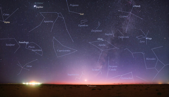
Man continuously, from 300 centuries BC to the present day, designs maps, images of its geographical territory, in different ways, ideas and techniques to get a picture of the world that he can not see, as is the case with the image of himself.
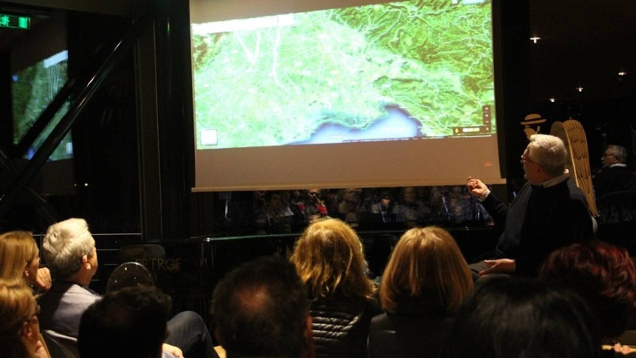
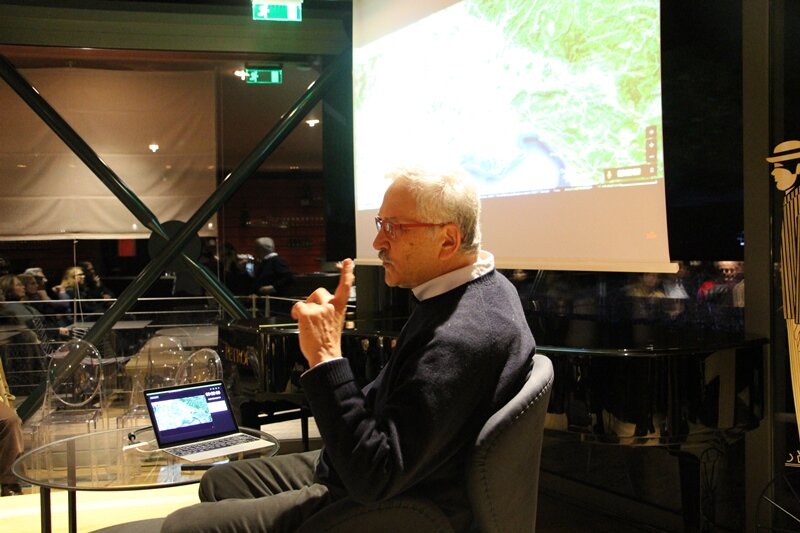
"The image, the map, the representation is an existential element of our presence in life", according to the Professor of cartography at the Aristotle University of Thessaloniki, Evangelos Livieratos, who responded to the invitation of the Gerovassiliou Wine Museum to present to a wide audience which had no scientific knowledge of cartography, the maps that have changed the world.
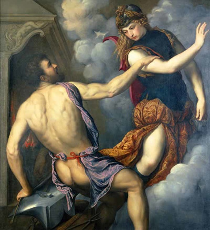
"Man's relationship with the Earth is man's relationship with himself. "We would all never see our face if we did not see it in a painting, a mirror or a lake like Narcissus," the professor said, pointing to a typical painting by Salvador Dali (Dalí from the Back Painting Gala from the Back Eternalized by Six Virtual Corneas Provisionally Reflected in Six Real Mirrors).
"From Petroglyphs to Mathematical Models"
In the area of Ivrea in Northern Italy there are some rock paintings in a cave. They date back, for example, to 300 B.C. The painting probably shows some huts, a curve that can be a natural obstacle (mountain, forest, river) and on the other side of the curve animals, i.e. the way to food and survival. It is considered by historians of cartography as the first map.
"It is a map 30,000 years BC, long before man began to write, so we start much further away from language, writing, etc.," noted Mr. Livieratos, going to the Greek period of maps.
"Before there were satellites for thousands of years, people did about the same thing they do today, which uses the stars. They used not only the stars but also the relationship of the stars to the surface of the Earth, as the satellite does today," the professor pointed out, explaining:
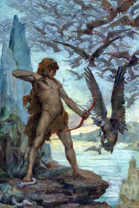
"The relationship of the stellar firmament with the surface of the Earth was a fundamental precursor to the construction of orientation maps, to the navigation of movement on the Earth, to the construction of maps. As early as the 7th century BC, the Ionians the Milesians used the stars and connected them to the surface of the earth, so that they could orient themselves by the stars, move and slowly create the first maps themselves."
Three to four centuries later, the ancient Greeks understood the shape and described the globe, while equipping the globe with meridians and parallels in order to locate places, appears from the time of Hipparchus, in the 2-3rd century BC.
"The Father of Geography"
In the 2nd century AD, Ptolemy collected all the knowledge that existed up to that time in the Greek world and wrote a book in which he listed 7,000 places known at the time with their coordinates on the globe, with latitude and longitude. He then placed these points in Hipparchus' grid so that by connecting the dots you get the coastlines, rivers, etc.
"He is considered the father of geography. "Alexandrinos, having Greek education and culture, was an Egyptian, a Roman citizen who wrote, spoke and thought in Greek." Mr. Livieratos noted.
"We find Ptolemy's work again with the Arabs and then with the Byzantines, in the Palaeologian Renaissance", said the professor.
From the Renaissance onwards, a detailed survey of space is added and better maps on a larger scale are created.
Mr. Livieratos presented the maps that had a decisive influence on the change of the world view from the 6th to the 18th century, with emphasis on the period of the 16th century, which marked the radical change of the old world view, that of the three continents, as it has been known by people and their culture as a stereotype for more than 2000 years.
"Station 1: The Sunrise of Paradise"
In 550 AD, during the reign of Justinian I, a merchant from Alexandria known as Cosmas the Indian Traveler (Traveler to India) devised a theory of the world. According to it, the earth floats in the ocean and is a rectangular rectangle, like the Holy Table.
Everything begins with Paradise, which is in the East
The map, only 3 cm tall, is in a handwritten psalm, in the Holy Monastery of St. Catherine at Mount Sinai. It has nothing to do with reality but is a belief, it is based on the then prevailing religion of Christianity. The stereotype of paradise depicted in the East is the same in the medieval maps, with the difference that the Earth becomes round.
"Station 2: The great enigma of Carta Pisana"
Between 1270 and 1300 AD, even before the Byzantines of Palaeologean Renaissance reuse Ptolemy and his coordinates, a map engraved on animal skin appears. Carta Pisana is the oldest surviving nautical chart in the world.
It has engraved the Mediterranean, the Iberian Peninsula, Greece, Cyprus, the coasts of Asia Minor, Italy, Corsica, Sardinia, Spain, but does not show Byzantium and the Black Sea. Their coastlines are very similar to the maps used today. The Portuguese map is now in the National Library of France.
It remains a mystery to this day which base knowledge was used by the Genoese or Pisans who made it.
"Station 3: The Renaissance of Ptolemy"
In Florence at the beginning of the 15th century, the great scholar Emmanuel Chrysoloras brings from Constantinople the knowledge of Ptolemy, who will make a decisive contribution to the Renaissance, by, for example, supporting the invention of Perspective in Painting of Filippo Brunelleschi. Byzantine and Western scholars leaf through Ptolemy's geography, make corrections and use it as the basis for the idea of opening up a route to the West geographically. Later, based on this preparation, Columbus will calculate his voyage.
"Station 4: A New World"
Suddenly everything changes, as 2,000 years of knowledge that the continents are three is overturned by Columbus' voyage and the discovery of America. The handwritten map that shows the new continent for the first time dates back to 1500 and is now in Madrid's Naval Museum.
"Station 5: The first division of the world"
Albert Cantino's 1502 map of the world introduces geopolitics into cartography for the first time: a vertical border shows the first division of the world into vast zones of influence and divides Columbus' latest geographical discoveries.
"Station 6: America's Birth Certificate"
In 2007, German Chancellor Angela Merkel officially presented the Library of Congress with a 1507 map of the world by German cartographer Martin Waldzeemueller, the first to name the new discovery as "America", in honor of Amerigo Vespucci.
The map is considered a national identity monument of the United States, as it is the first document to use the name America.
"Station 7: Toward the Modern Atlas"
With the new discoveries, adjustments are made to Ptolemy's geography. For a century, the Italians make great strides in depicting the world with modern cartographic standards, even before the Flemish cartographer Abraham Ortelius and the Orbis Terrarum.
"Station 8: The Flat Sphere"
In a world map of 1569, the Flemish Gerardus Mercator introduced a new view of cartography by transforming the spherical surface of the Earth into a flat one with parallel lines for latitude and longitude.
It was based on the property that what is measured as an angle on the map corresponds exactly to what exists on Earth. These maps changed the world of navigation and are still used today in navigation and aviation.
"Station 9: America Goes to Paradise"
In 1602, Italian Jesuit Missionary Matteo Rizzi produces the map that puts America on the right side for the first time. The Jesuits received a Ptolemaic education in Rome.
So it is speculated that in accordance with the Christian belief that Paradise is in the East, and the Ptolemaic tradition, Ritchie adds America to the east of Paradise. This map is very important to the Chinese. All Chinese world maps follow Ritchie's standard.
"Station 10: The Scientific Contraction of France"
The statute of the French Academy of Sciences founded by Louis XIV provided for the production of better and more detailed maps. However, good mapping proved that previous maps depicted France as larger than it actually was. The first detailed state map of France is still a model followed by many countries today.