Introduction
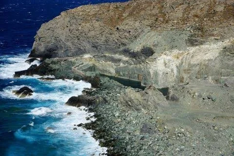
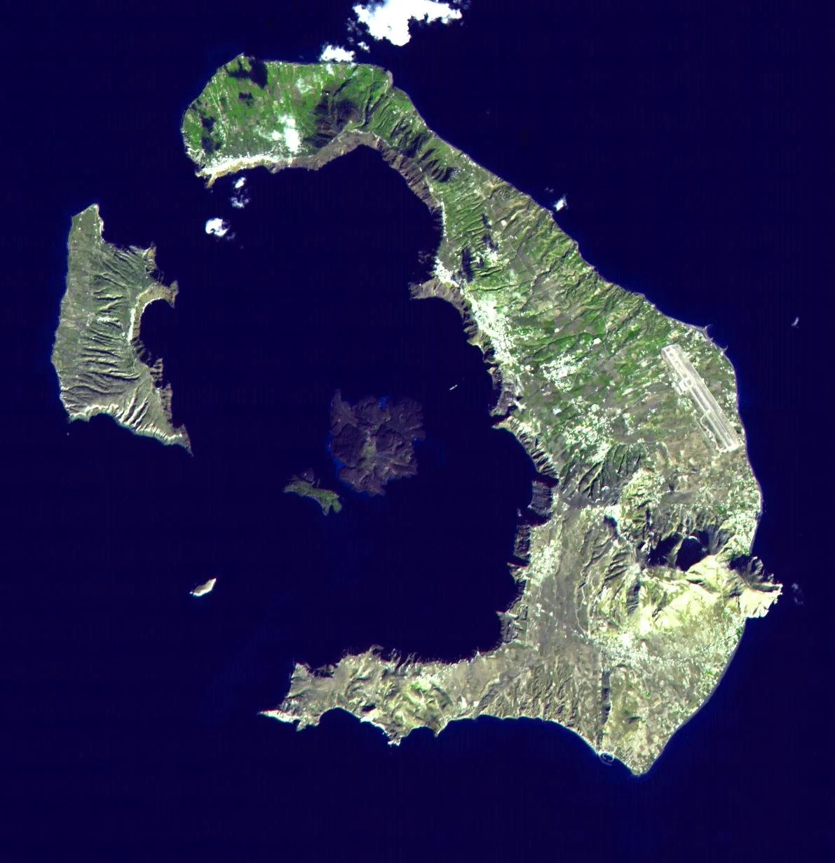
Santorini is one of the world's most recognizable volcanic landscapes. Its dramatic caldera, steep cliffs, volcanic islands, and surrounding Aegean waters are the visible result of a long and complex geological history.
Understanding such a landscape increasingly involves satellite technology.
Earth-observation satellites can collect information about terrain, vegetation, ocean conditions, atmospheric properties, and changes in the Earth's surface. Researchers can use these observations to study volcanic landscapes at scales that would be difficult to achieve solely through fieldwork.
The term “unseen satellite networks” should not be interpreted as evidence of a secret satellite system specifically dedicated to Santorini. Instead, it provides a useful framework for exploring how satellite observations contribute to modern volcanic research.
Santorini's Volcanic Structure
The Santorini volcanic complex developed through repeated episodes of volcanic activity.
The modern caldera is associated with a major explosive eruption in the Late Bronze Age, commonly referred to as the Minoan eruption.
Subsequent volcanic activity produced additional formations within the caldera.
The result is an unusually complex volcanic landscape in which geological structures can be observed above and below the sea.
What Satellites Can See
Satellites cannot simply photograph everything beneath the Earth's surface.
However, they can detect surface characteristics using different sensors.
Optical instruments capture visible and near-infrared wavelengths.
Radar systems can measure surface properties and detect subtle changes in terrain.
Thermal sensors can identify temperature differences.
Multispectral and hyperspectral instruments can help identify minerals and vegetation.
By combining these datasets, scientists can construct detailed maps of volcanic environments.
Monitoring Ground Movement
Volcanic systems can deform before or during periods of increased activity.
Satellite radar techniques such as interferometric synthetic aperture radar can measure subtle changes in surface elevation.
Researchers compare images acquired at different times.
If the ground moves upward or downward by small amounts, these changes may be detectable.
This does not mean that every movement indicates an impending eruption.
Ground deformation can have multiple causes, including volcanic processes, groundwater changes, earthquakes, and other geological factors.
Mapping the Caldera
Satellite data can also improve topographic mapping.
Researchers can combine satellite imagery with aerial surveys and ground-based measurements to produce detailed digital elevation models.
These models help scientists understand the shape of the caldera and the surrounding volcanic structures.
They can also support hazard modeling.
Underwater Santorini
One of the greatest challenges is that much of the volcanic system is underwater.
Satellite imagery cannot directly reveal detailed underwater structures in deep water.
Marine surveys using sonar, remotely operated vehicles, and other technologies are therefore necessary.
Satellite data can nevertheless complement oceanographic research by monitoring sea-surface characteristics and providing geographic context.
Disaster Preparedness
Volcano monitoring is not purely academic.
Santorini is a major tourism destination, meaning volcanic hazards have implications for residents, visitors, transport systems, ports, and infrastructure.
Remote sensing can contribute to early detection of changes.
However, satellite data must be interpreted alongside seismic monitoring, GPS measurements, gas observations, and geological analysis.
No single technology can predict volcanic eruptions with certainty.
Climate and Environmental Monitoring
Satellite observations are also useful for studying changes unrelated to volcanic activity.
Researchers can monitor vegetation, coastal erosion, water conditions, land use, and urban development.
This provides a broader environmental record of the island.
Conclusion
The unseen satellite networks mapping Santorini are better understood as a combination of international Earth-observation systems, scientific satellites, radar platforms, aerial surveys, and ground-based monitoring rather than a mysterious secret network.
These technologies allow scientists to study one of the Mediterranean's most complex volcanic landscapes from multiple perspectives.
The real achievement is not that satellites can “see everything,” but that different types of observations can be combined to reveal geological changes that would otherwise be difficult to detect.