Introduction
Pavlopetri, located off the coast of Laconia in the southern Peloponnese, is one of the most fascinating submerged archaeological landscapes in the Mediterranean.
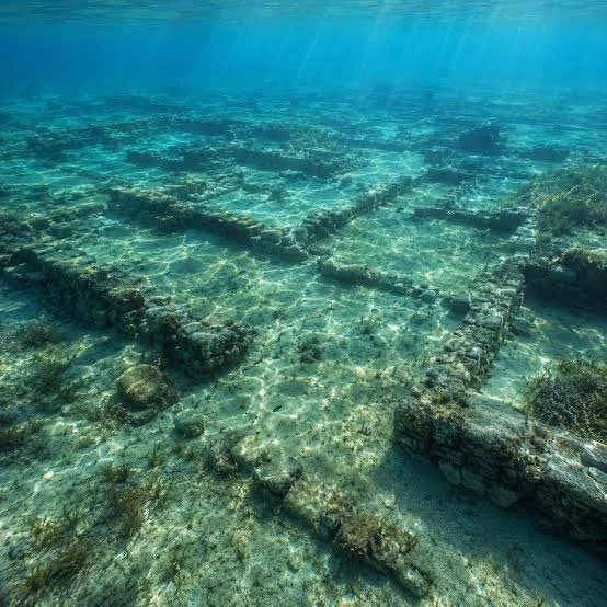
The site contains the remains of a prehistoric settlement beneath the sea, including structures interpreted as streets, buildings, and other elements of an organized settlement.
Its underwater location creates an unusual challenge for archaeology. Visitors cannot simply walk through the ancient streets as they would through a land-based archaeological site.
Augmented reality offers a possible solution.
What Is Augmented Reality?
Augmented reality, or AR, overlays digital information onto the user's perception of the physical world.
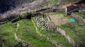
A visitor using an AR device could potentially see reconstructed walls, streets, buildings, or explanatory labels superimposed onto a modern landscape.
For an underwater archaeological site, the experience could be created through a combination of underwater mapping, digital modeling, GPS positioning, and visual reconstruction.
Pavlopetri Beneath the Sea
The submerged settlement is particularly important because its layout preserves evidence of organized urban planning.
Archaeologists have documented structures that suggest streets, buildings, and other elements of settlement organization.
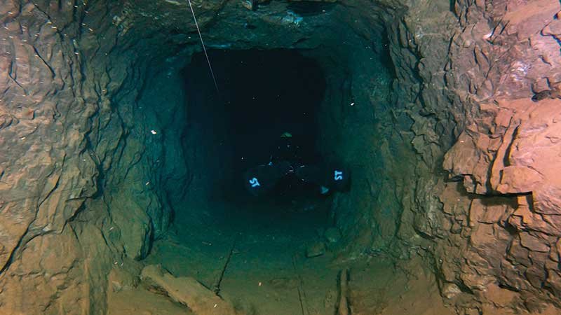
Because the site is submerged, the underwater environment itself becomes part of the archaeological challenge.
Sediment, visibility, currents, biological growth, and depth can affect the condition and visibility of remains.
Digital Reconstruction
Researchers can create three-dimensional models using underwater photography, photogrammetry, sonar, and other survey methods.
These models can then be used to reconstruct the site's appearance.
However, reconstruction must distinguish between what is directly observed and what is hypothesized.
A digital building should not automatically be presented as historically certain simply because software can generate a convincing image.
Archaeological interpretation must remain visible in the reconstruction.
How an AR Tour Could Work
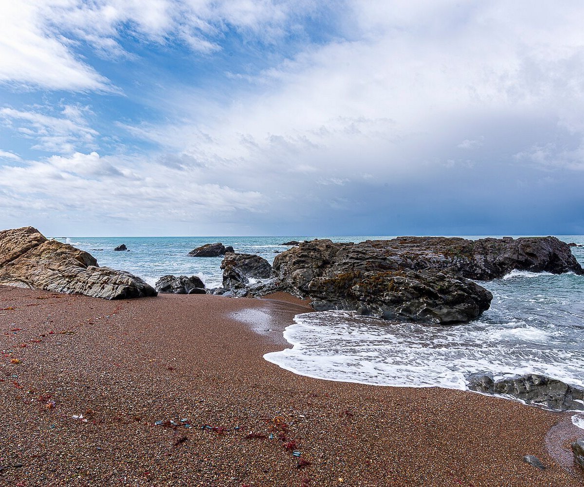
Imagine a visitor standing near the modern coastline.
Through an AR-enabled device, the person could view the ancient settlement as it might have appeared in the past.
Digital streets could appear beneath the water.
Buildings could rise from their archaeological foundations.
Information panels could identify areas where archaeologists have strong evidence.
Different visual styles could distinguish confirmed remains from reconstructed elements.
This would allow visitors to understand the archaeological site without physically disturbing it.
Education
AR could be particularly valuable for students.
Underwater archaeology is difficult to understand through photographs alone.
A three-dimensional representation can communicate spatial relationships more effectively.
Students could virtually walk along ancient streets, examine building layouts, and compare archaeological evidence with reconstructed interpretations.
This transforms archaeology from a collection of isolated artifacts into a spatial experience.
Conservation Benefits
Virtual access can reduce pressure on fragile archaeological sites.
Large numbers of visitors do not need to physically enter the underwater environment to experience the settlement.
Researchers can also use digital models to document changes over time.
If a structure deteriorates, earlier scans can provide a record of its condition.
Challenges
AR archaeology requires highly accurate mapping.
GPS signals do not work normally underwater, so positioning systems must use other technologies.
Underwater environments are also difficult to model because visibility can change rapidly.
Digital reconstruction requires specialized software and archaeological expertise.
There is also a risk of presenting speculative reconstructions as historical fact.
Conclusion
The idea of hidden AR tours of Pavlopetri reflects a promising direction for underwater heritage interpretation.
The technology can make submerged archaeological landscapes understandable to people who cannot dive or conduct specialized archaeological surveys.
Pavlopetri is particularly suitable for such approaches because its preserved settlement layout offers a powerful spatial story.
The most successful digital reconstruction would not simply make the ruins look impressive. It would clearly distinguish archaeological evidence from interpretation while allowing visitors to experience an ancient settlement that now lies beneath the Mediterranean Sea.