Maritime cartography, military engineering, and Venice's struggle to secure the eastern Mediterranean.
A Sea Connecting Trade and Military Power
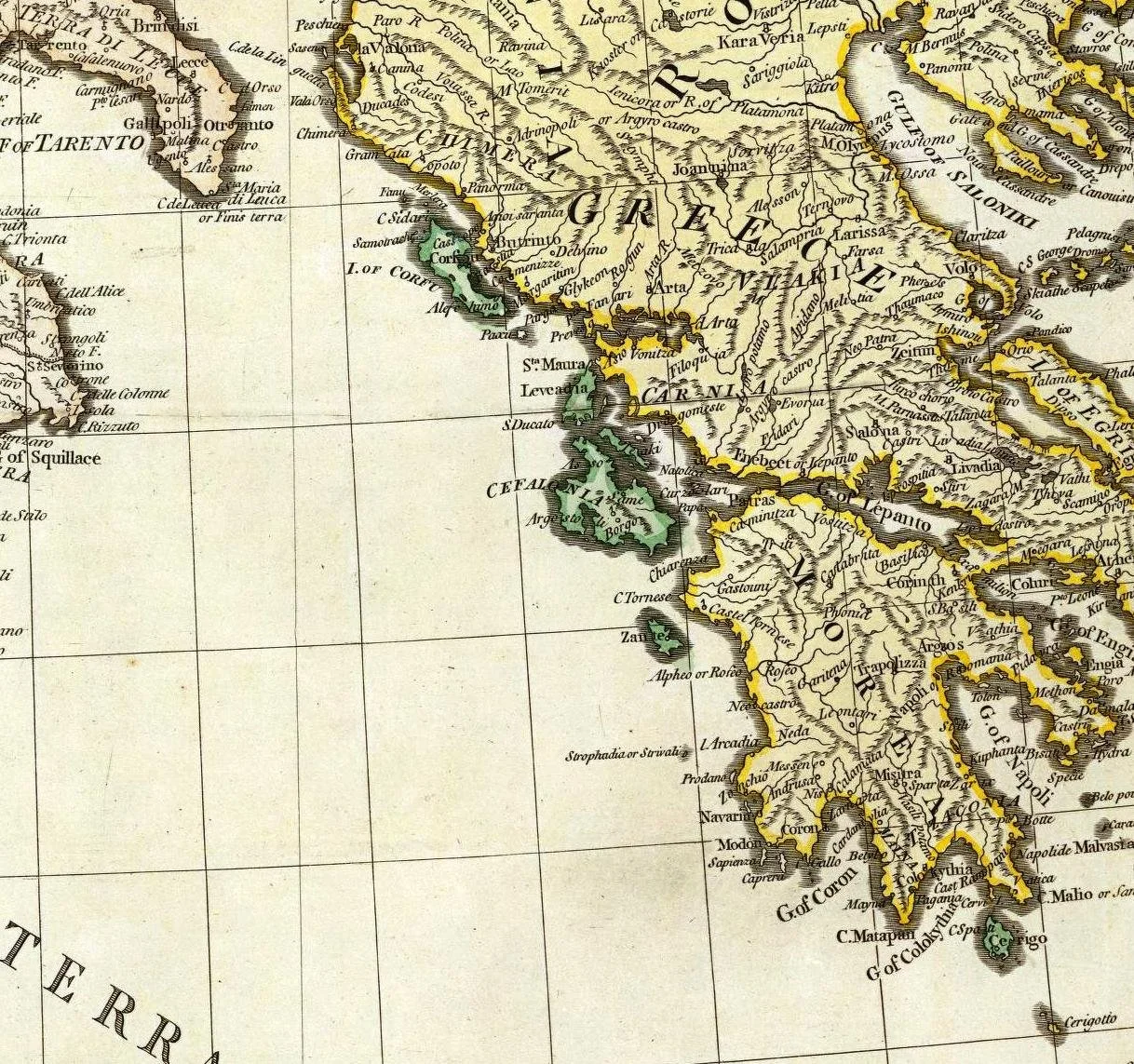
The Ionian Sea occupies a strategic position between the Italian peninsula, western Greece, and the wider eastern Mediterranean. Its islands and coastal harbors have long supported shipping, fishing, commerce, and communication between different parts of the region.
For the Republic of Venice, maritime geography was particularly important. Venice developed its political and economic influence through trade, naval power, and a network of overseas possessions. Controlling a harbor could help protect commercial shipping, support a naval presence, and provide a place for vessels to obtain supplies.
Fortifications were central to this system, but they could not operate independently. A fortress required a garrison, provisions, maintenance, artillery, and communication with other strategic positions. Maps helped officials and engineers understand how these elements related to the surrounding coastline.
The title's reference to Venetian maps of Ionian Sea forts describes a historically plausible category of documents. Any particular newly discovered map, however, would need an identifiable archive record and reliable historical analysis.
Venice and the Ionian Islands
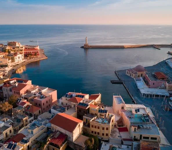
Venetian influence in the Ionian region developed over several centuries and changed through warfare, diplomacy, and territorial competition. Corfu was especially important because of its position near the entrance to the Adriatic Sea. Other islands and coastal settlements occupied different roles in the wider maritime system.
The political status of individual islands varied over time, so it is important not to treat the Ionian region as a single uniform Venetian possession throughout its history. Different territories experienced different arrangements of administration, defense, and local authority.
The region's fortifications reflected these differences. A major harbor might require extensive defenses and a substantial garrison, while a smaller coastal position could serve as a lookout or a place to monitor passing ships.
The Development of Military Cartography
Early modern maps were created for several purposes. Some helped navigators understand coastlines and harbor entrances. Others recorded territorial boundaries, surveyed land, or supported military planning.
A fortification plan could include walls, gates, bastions, ditches, artillery positions, roads, water supplies, and nearby buildings. Such a document might show the existing state of a fortress or propose changes intended to improve its defenses.
The accuracy of a map depended on the information available to its creator. Surveyors could take measurements directly, but they might also rely on earlier maps, descriptions supplied by sailors, or reports from military officers.
A proposed plan should not be confused with a record of completed construction. Engineers frequently prepared designs that were altered, delayed, or abandoned because of cost, political change, or shifting military priorities.
The Transformation of Fortifications
The spread of artillery changed the design of many European fortifications. Tall medieval walls could be vulnerable to cannon fire, encouraging engineers to develop lower, thicker defenses and projecting bastions that allowed defenders to cover the approaches with artillery.
These designs were adapted to local conditions rather than applied identically everywhere. A fortress built on rocky ground faced different challenges from one protecting a densely populated harbor or a flat coastal approach.
Venetian engineers had to consider the terrain, the likely direction of attack, the available construction materials, and the cost of maintaining a garrison. A map showing proposed changes could therefore reveal the strategic priorities of the officials who commissioned it.
Fortifications also changed over time. A structure that had been adequate in one period might require new walls, artillery platforms, or additional defenses as military technology developed.
How Researchers Authenticate a Venetian Map
Historians examine handwriting, paper, watermarks, seals, cartographic symbols, place names, and the document's archival history. These features can help establish when a map was produced and whether it is an original, a copy, or a later reconstruction.
The labels and annotations may reveal the intended audience. A map created for a naval commander might emphasize harbors and sailing routes, while one prepared for an engineer could focus on walls, elevations, and artillery positions.
Comparing the map with other documents can help determine whether its information was based on direct observation or copied from an earlier source. Researchers also compare the proposed or depicted structures with surviving remains and historical accounts.
Maps as Records of Imperial Ambition
A military map is more than a picture of a coastline. It reveals how a government understood its territory, assessed threats, and allocated resources. A proposed fortification might indicate concern about a particular approach, while repeated revisions could reflect changing military priorities.
Venetian maps of Ionian fortifications can therefore illuminate the relationship between engineering, maritime commerce, and imperial strategy.
The general historical subject is well grounded, but the specific map or collection implied by the title remains unverified here. A documented example could provide valuable evidence about the changing defenses of the Ionian Sea and the people responsible for maintaining them.