Introduction: Reading the Landscape as Earth's History
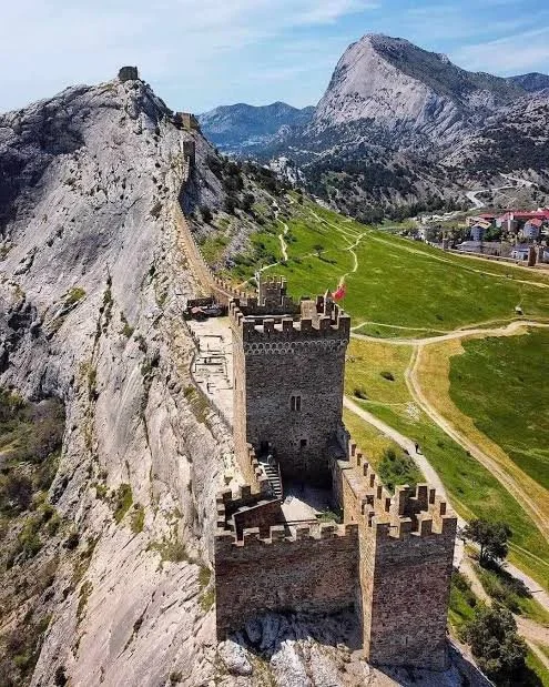
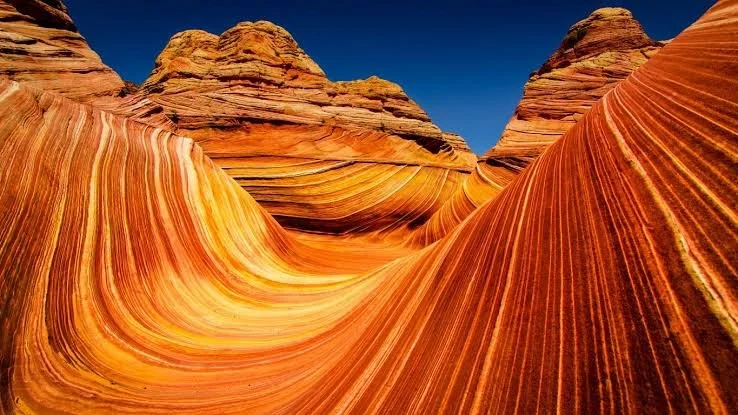
Greece is widely recognized for its ancient cities, islands, coastlines, and mountain scenery, but its natural heritage extends far beyond familiar tourist destinations. The country lies in a geologically active part of southeastern Europe, where tectonic movement, volcanic activity, uplift, erosion, and changes in sea level have shaped a remarkably varied landscape.
Limestone mountains contain caves and underground drainage systems. Volcanic rocks preserve evidence of ancient eruptions. River deltas support wetlands, while coastal waters host organisms whose behavior can transform the sea's appearance after dark. Sedimentary basins preserve fossils that reveal how the region's environments changed over millions of years.
The phrase “rare natural and geological wonders” can describe both well-documented features and intriguing possibilities. It is important, however, to distinguish verified sites from attractive but unconfirmed claims. A landscape that looks mysterious is not necessarily evidence of a hidden cave system, an unusual species, or an undiscovered fossil deposit.
This collection explores remarkable geological and ecological subjects associated with Greece, explaining the natural processes behind them and identifying where further investigation would be necessary.
Geological Processes Behind Greece's Diversity
The geology of Greece reflects the long interaction of tectonic plates, sedimentary basins, volcanic systems, and mountain-building processes. The movement of the African plate beneath the Eurasian region has contributed to the country's seismic and volcanic activity, particularly around the southern Aegean. Meanwhile, the uplift and erosion of mountain chains have exposed rocks formed in different geological periods.
Water is another major force. Rainfall dissolves limestone, enlarging fractures and creating caves, underground streams, and springs. Rivers transport sediment from mountains to plains and coastal deltas. Along the coast, waves and currents redistribute material, while marine organisms contribute to the formation of sediments and fossil-bearing deposits.
These processes operate at different speeds. A landslide can alter a slope in seconds, whereas a mountain range may take millions of years to develop. Fossils, mineral veins, and sedimentary layers allow geologists to reconstruct events that occurred long before humans inhabited the region.
Biodiversity in Wetlands and Mountains
Greece's ecological diversity is closely connected to its geography. Wetlands, lakes, alpine meadows, Mediterranean scrub, forests, and coastal habitats support different communities of plants and animals. Some species occupy narrow ecological niches and are especially vulnerable to changes in water levels, land use, pollution, or climate.
Wetlands are particularly important because they support aquatic plants, invertebrates, fish, amphibians, and migratory birds. Mountain environments create additional diversity through changes in temperature, rainfall, exposure, and soil conditions across relatively short distances.
The presence of an unusual species in a particular landscape must nevertheless be confirmed through reliable identification. A plant described as carnivorous, for example, should be documented botanically rather than inferred from its appearance. Similarly, reports of unusual lights in the sea should be investigated through ecological observation before they are attributed to bioluminescent organisms.
Why Scientific Verification Matters
The language of exploration often favors words such as “hidden,” “forgotten,” and “undiscovered.” These words can make a natural feature sound mysterious, but they do not establish its scientific status. A geological formation may be locally known for generations while remaining unfamiliar to visitors. A cave may be unexplored without being confirmed to contain a river, mineral deposit, or fossil assemblage.
Verification involves identifying the location, documenting its physical characteristics, and comparing observations with established geological or biological knowledge. Researchers may use geological mapping, water sampling, microscopy, fossil analysis, remote sensing, or repeated field observations, depending on the question.
This process also protects fragile environments. Entering an uncharted cave, collecting fossils, approaching geothermal water, or disturbing a wetland can cause injury and environmental damage. Scientific curiosity is most valuable when it is combined with conservation and respect for local regulations.
A Framework for Exploring Natural Wonders
The following articles examine specific landscapes and phenomena, including the rock formations of Meteora, the geothermal system of Methana, the wetlands of Prespa, and the fossil record of the Ionian region. Some titles use evocative descriptions that are not established scientific classifications. In those cases, the article explains the closest documented natural processes rather than presenting an unsupported discovery as fact.
The central lesson is that nature rarely needs exaggeration. Ancient sediments, living microorganisms, groundwater moving through fractured rock, and the gradual transformation of landscapes can be extraordinary in their own right.