Introduction
Lipsi, a small island in the Dodecanese, lies within a maritime environment that has connected the eastern Aegean with the Anatolian coast for thousands of years. Its bays, rocky shores, and nearby islands offered natural opportunities for fishing, coastal transport, and maritime shelter.
During the Byzantine period, the eastern Aegean remained an important zone of communication and commerce. Ships carried agricultural products, construction materials, military supplies, religious objects, and passengers between islands and mainland settlements.
The possibility of Byzantine anchorages near the reefs of Lipsi provides an interesting way to explore this maritime history. However, underwater features must be distinguished from natural reef formations, and any proposed anchorage requires archaeological evidence.
Lipsi in the Eastern Aegean
Lipsi belongs to the island group north of Leros and east of Patmos. Its location placed it within a network of short maritime passages connecting neighboring islands and larger regional centers.
The island's bays and sheltered coastal areas would have been useful to vessels seeking protection from changing weather. Natural coves could also provide access to fresh water, fishing grounds, and nearby settlements.
Although small islands were not necessarily major political centers, they could play important supporting roles in maritime transportation. A safe anchorage could be valuable even without a large harbor or permanent naval installation.
Byzantine Maritime Activity
The Byzantine Empire relied heavily on maritime transport. Ships connected Constantinople with provincial cities, island communities, military stations, and commercial ports.
During different periods, the eastern Aegean experienced changes in political authority, economic activity, and naval organization. Maritime security was particularly important because islands and coastal settlements could be exposed to piracy, raids, and military conflict.
The development of specialized naval forces, including the imperial fleet and regional maritime commands, reflected the importance of controlling sea routes.
However, not every coastal shelter used during Byzantine times should be described as a formal naval base. Many were likely practical anchorages used by merchant ships, fishing vessels, and smaller craft.
Natural Reefs and Safe Anchorages
Reefs create both opportunities and hazards for navigation. They may provide sheltered water behind exposed formations, but they can also damage vessels approaching unfamiliar coastlines.
Ancient and medieval sailors relied on local knowledge, landmarks, prevailing winds, and practical experience to navigate coastal waters.
A sheltered area near a reef could serve as a temporary anchorage if it offered sufficient depth, protection, and a safe approach. The presence of underwater rock formations alone, however, does not prove that a historical anchorage existed there.
Researchers must examine the seabed, shoreline configuration, and possible archaeological remains before identifying a specific location.
Archaeological Evidence Beneath the Water
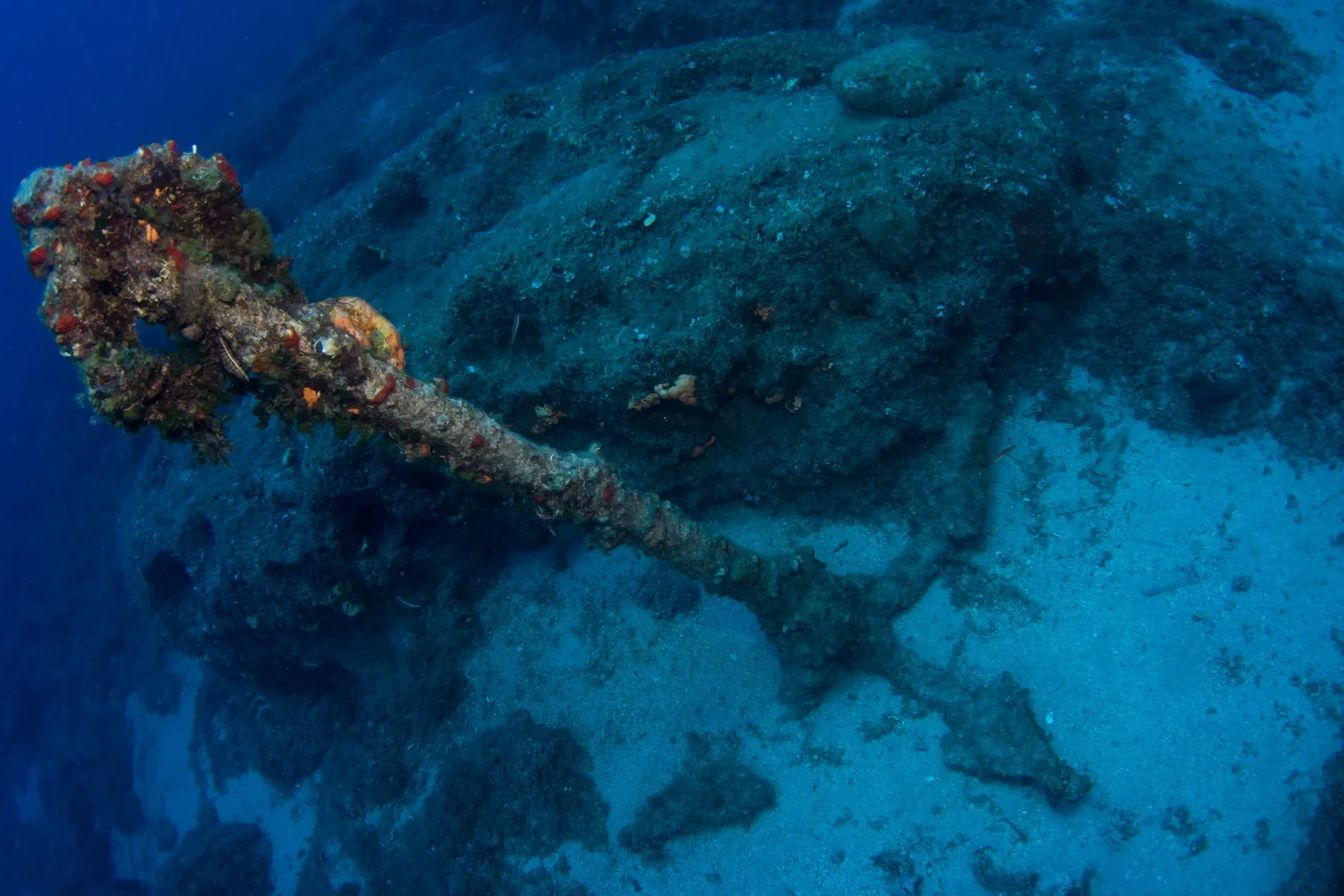
Underwater archaeological evidence can include anchors, anchor stocks, ceramic fragments, shipwreck remains, harbor installations, and concentrations of transported materials.
Stone anchors and iron anchors may help identify maritime activity, although individual examples can be difficult to date. Ceramic cargo fragments may provide stronger chronological clues when recovered from a secure archaeological context.
The discovery of several objects together can be particularly significant. A coherent deposit may indicate a shipwreck, repeated anchoring activity, or the movement of goods through a coastal area.
Even so, an isolated artifact should not automatically be interpreted as evidence of a Byzantine harbor.
Trade and Everyday Maritime Movement
Byzantine island communities depended on maritime connections for many essential resources. Agricultural products, pottery, timber, metal goods, and household materials moved between settlements through coastal shipping.
Smaller islands could function as intermediate stops where crews rested, repaired equipment, exchanged goods, or waited for favorable conditions.
Lipsi's geographical position makes it reasonable to investigate its role in these regional networks. Archaeological finds from the island and its surrounding waters could help establish the scale and chronology of its maritime activity.
Identifying a Byzantine Anchorage
To identify a Byzantine anchorage, archaeologists would need to combine several types of evidence.
Underwater surveys could locate anchors, ballast stones, pottery concentrations, and structural remains. Sediment analysis might reveal changes in the ancient shoreline or evidence of human modification.
The dating of artifacts is essential. A harbor used over many centuries could contain objects from multiple periods, making it necessary to distinguish Byzantine deposits from earlier or later activity.
Historical texts and regional port records may provide additional context, but written references must be connected carefully to the physical landscape.
Underwater Survey and Conservation
Modern underwater archaeology uses diver surveys, photogrammetry, sonar, and remote sensing to document submerged remains.
These methods are especially useful around reefs because visibility and access can be difficult. Three-dimensional recording allows researchers to map objects and structures without unnecessary disturbance.
Marine growth and sediment can conceal artifacts, while wave action and currents may gradually move or damage exposed remains.
Underwater cultural heritage should be protected from unauthorized recovery. Removing an anchor or ceramic object without recording its context can destroy information about its date and function.
Conclusion
The reefs and coastal waters around Lipsi provide a promising setting for investigating Byzantine maritime activity in the eastern Aegean. Natural shelters may have supported vessels traveling between islands, while archaeological remains could reveal patterns of trade, transport, and navigation.
The specific identification of Byzantine anchorages in Lipsi's harbor reefs, however, requires underwater survey results and securely dated material evidence. A combination of archaeology, maritime history, and coastal geology would be necessary to reconstruct how the island participated in Byzantine seafaring.