Introduction
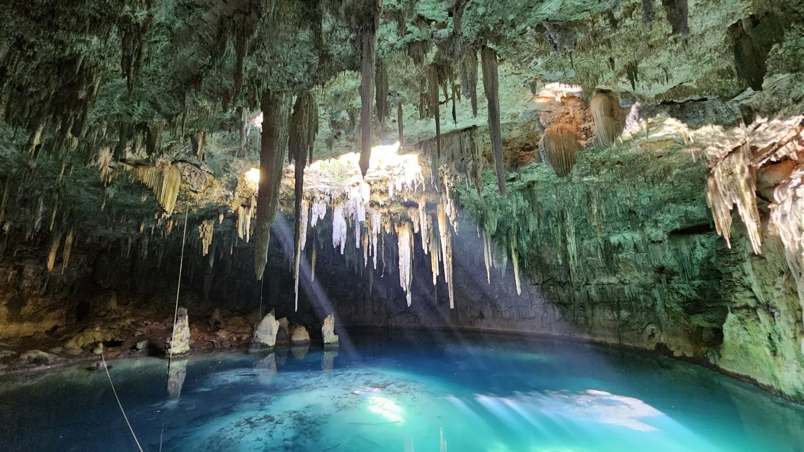
Cenotes are natural water-filled openings or sinkholes formed when groundwater occupies cavities created by the dissolution or collapse of soluble rock, particularly limestone. They are especially associated with the Yucatán Peninsula in Mexico, where extensive limestone formations contain underground rivers, caves, and flooded sinkholes.
The idea of cenotes in coral reefs around the Saronic Islands of Greece requires careful geological clarification. The Saronic Islands are located in the Aegean Sea, within a region shaped by complex tectonic and sedimentary processes. Although limestone formations, coastal caves, submerged cavities, and freshwater springs can occur in Mediterranean island environments, these features should not automatically be described as cenotes or coral-reef sinkholes.
This topic is useful for examining the geological processes that create coastal cavities and the differences between cenotes, karst systems, coral reefs, and submerged marine formations.
The Saronic Islands and Their Geological Setting
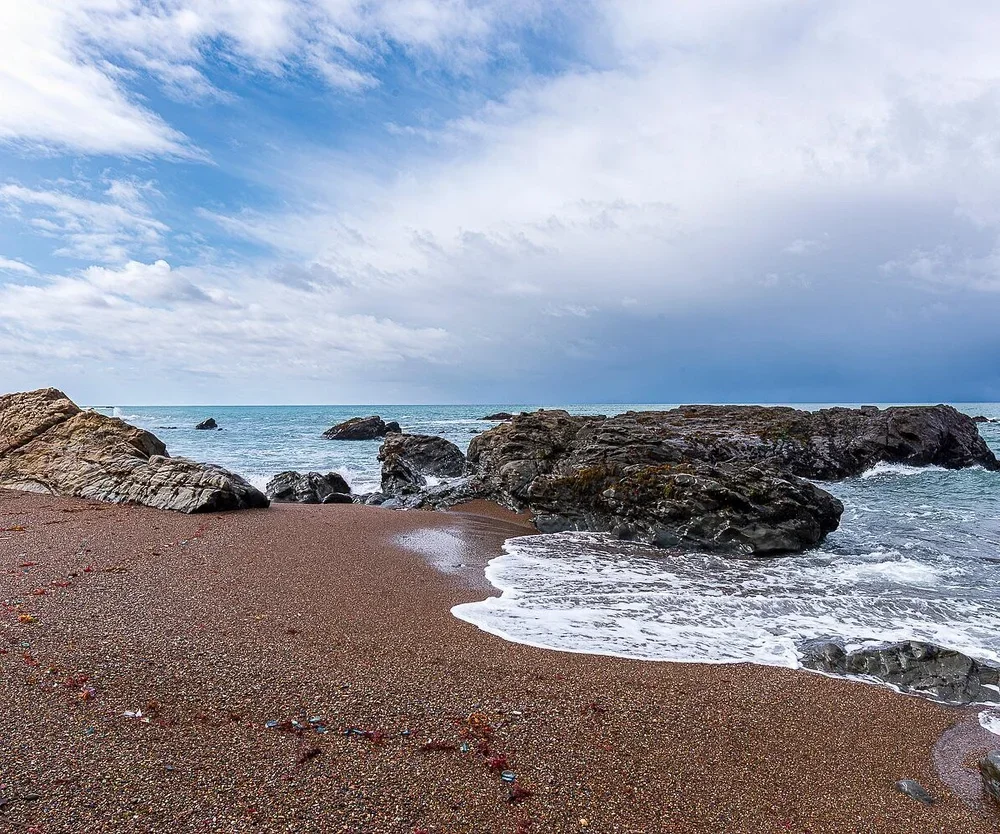
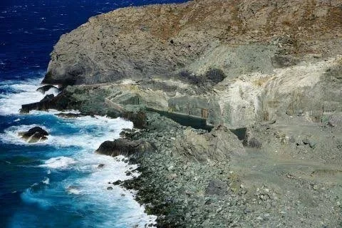
The Saronic Islands lie in the Saronic Gulf, near the eastern Peloponnese and the Attica region of mainland Greece. The island group includes Aegina, Salamis, Poros, Hydra, Spetses, and several smaller islands.
Their geological histories are varied. Different locations contain sedimentary rocks, volcanic materials, limestone, and formations shaped by tectonic activity.
Aegina, for example, is associated with volcanic geology, while other islands contain substantial limestone formations. These differences influence the development of caves, springs, cliffs, and coastal landforms.
Understanding the geology of each island is essential before identifying any underwater cavity as a cenote-like feature.
What Exactly Is a Cenote?
A cenote is generally a natural sinkhole or opening that exposes groundwater within a karst landscape. Karst develops when slightly acidic water gradually dissolves soluble rocks such as limestone.
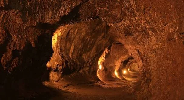
Over long periods, this process can create underground passages, chambers, and cavities. When the roof of an underground chamber collapses or an opening reaches the surface, a sinkhole may form.
Some cenotes are open to the atmosphere, while others are partly enclosed by rock. They may contain freshwater, brackish water, or mixtures of groundwater and seawater, depending on their location and connection to surrounding water systems.
The term is most strongly associated with the geological and cultural landscape of the Yucatán Peninsula. Applying it to Greek coastal formations requires a clear explanation of the geological similarities and differences.
Coral Reefs and Limestone Caves
Coral reefs form when coral organisms and other reef-building species produce calcium carbonate structures. Over geological time, reef materials can accumulate and become part of carbonate rock formations.
Limestone caves, however, are usually created through the dissolution of carbonate rock by water. Although coral-derived limestone can develop cavities, not every reef or limestone formation contains sinkholes.
In coastal environments, waves and groundwater can contribute to the development of caves and openings. Changes in sea level may also expose or submerge former coastal cavities.
The presence of a submerged opening near a reef does not prove that it formed through the same geological processes as a classic cenote.
Karst Processes in Mediterranean Environments
Karst landscapes are found in many parts of Greece. Limestone formations are particularly widespread, and water moving through fractures can gradually dissolve the rock.
This process may produce caves, underground drainage systems, sinkholes, and springs. Some karst systems extend below modern sea level, especially where past geological and climatic conditions created cavities that were later flooded.
During periods of lower sea level, parts of the continental shelf and island coastlines were exposed. Groundwater could flow through limestone systems that are now submerged.
As sea levels rose, some of these cavities became flooded, creating underwater caves and springs.
Freshwater Springs and Submarine Groundwater Discharge
Submarine groundwater discharge occurs when groundwater moves from land into the sea through coastal sediments, fractures, or underwater openings.
In limestone islands, groundwater may travel through underground channels before emerging along the coast or seabed. These outlets can create localized differences in temperature, salinity, and water chemistry.
Divers and marine researchers may identify such locations through visible water movement, sediment disturbance, or changes in temperature and conductivity.
Some underwater openings may appear similar to cenotes, especially when they connect with flooded cavities. Nevertheless, their geological origin must be established through mapping and geological investigation.
Marine Life Around Submerged Cavities
Submerged caves and coastal cavities can support distinctive marine communities. Their entrances may receive enough sunlight for algae and other photosynthetic organisms, while deeper sections provide darker habitats.
Organisms living in these environments may include sponges, crustaceans, mollusks, fish, and specialized cave-adapted species.
Differences in water movement, oxygen levels, and salinity influence which organisms can survive in each section.
If freshwater enters a submerged cavity, it may create a mixing zone where freshwater and seawater interact. These conditions can produce unusual ecological patterns that deserve further study.
Investigating Underwater Geological Features
Researchers can use several techniques to investigate submerged cavities around the Saronic Islands.
Underwater surveys and diver observations can document entrances, walls, sediment deposits, and biological communities. Sonar systems may help map larger underwater structures, while remotely operated vehicles can investigate locations that are difficult or dangerous for divers.
Water samples can be analyzed for salinity, temperature, dissolved minerals, and other chemical characteristics. Geological samples may help identify whether the surrounding rock is limestone, volcanic material, or another formation.
Researchers also examine the relationship between underwater cavities and nearby land-based karst systems. This can help determine whether a submerged feature is part of an ancient groundwater network.
Why Geological Classification Matters
Using the correct geological terminology is important because similar-looking landforms can have different origins.
A sea cave formed by wave erosion is not necessarily a cenote. A submerged karst cavity is not automatically part of a coral reef. A freshwater spring emerging from the seabed may indicate an underground drainage system rather than a collapsed sinkhole.
Accurate classification helps researchers compare sites, understand their formation, and protect sensitive environments.
It also prevents the creation of misleading descriptions that make an ordinary geological feature appear to be a confirmed scientific discovery.
Conclusion
The possibility of cenote-like formations around the Saronic Islands raises interesting questions about the interaction between limestone geology, groundwater, sea-level change, and marine environments. Greece contains extensive karst landscapes, and submerged cavities and coastal groundwater outlets are scientifically plausible features in suitable geological settings.
However, the specific claim of cenotes within Saronic Island coral reefs should not be treated as established without documented geological evidence. Researchers would need to identify the rock formations, map the cavities, and investigate their connection to groundwater systems.
By distinguishing cenotes from other coastal and underwater formations, scientists can develop a more accurate understanding of the geological history of the Saronic Gulf.