Ancient Greeks developed increasingly sophisticated ideas about geography.
Their maps were not identical to modern maps, but Greek thinkers gradually moved from mythological conceptions of space toward systematic geographical observation.
Early Geographic Ideas
Early Greek poets imagined the world through mythological and literary traditions.
Over time, philosophers began seeking rational explanations for the Earth's structure.
Anaximander's Map
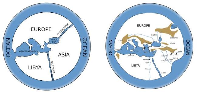
Anaximander is traditionally credited with producing one of the earliest known attempts at a map of the inhabited world.
The original map has not survived.
Later descriptions suggest it represented the known regions surrounding the Mediterranean.
Hecataeus
Hecataeus of Miletus developed geographic descriptions based on travel and earlier knowledge.
His work helped organize information about different peoples and regions.
Herodotus
Herodotus included extensive geographic observations in his historical writings.
He discussed:
Egypt;
Persia;
Scythia;
Libya;
and other regions.
He also questioned some earlier geographical claims.
The Shape of the Earth
Greek philosophers debated the Earth's shape.
By the classical period, arguments for a spherical Earth became increasingly influential.
Eratosthenes
One of the greatest achievements came from Eratosthenes.
He estimated the Earth's circumference using measurements of shadows and distances between locations.
His calculation was remarkably sophisticated.
Latitude and Longitude
Later Greek geographers developed increasingly systematic methods for describing location.
Hipparchus contributed significantly to mathematical geography and coordinate systems.
Ptolemy
The later Greek-Egyptian scholar Claudius Ptolemy produced a major geographical work.
His system used coordinates to represent locations.
Although many of his measurements were inaccurate, his geographical framework influenced mapmaking for centuries.
The Known World
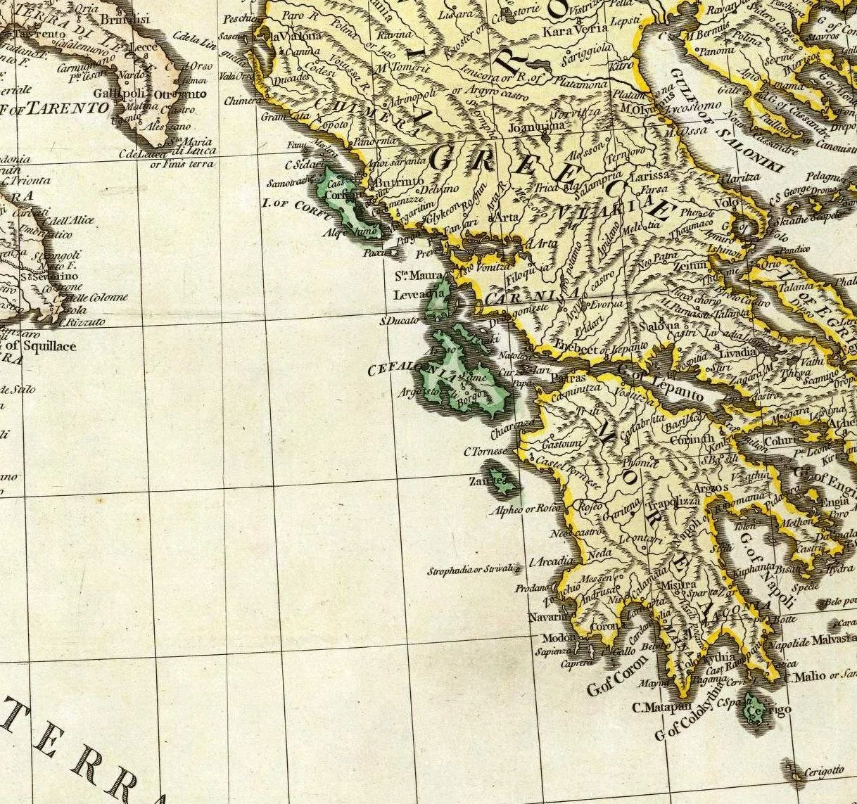
Greek geographical knowledge centered heavily on the Mediterranean and surrounding regions.
Beyond familiar territories, knowledge became less reliable.
Conclusion
Ancient Greek Maps and Worldviews reveal a gradual transition from mythological geography toward mathematical and observational geography.
Greek thinkers did not possess satellite imagery or modern surveying equipment, yet they developed concepts of coordinates, spherical Earth geometry, measurement, and systematic geographical description that became foundations for later cartography.